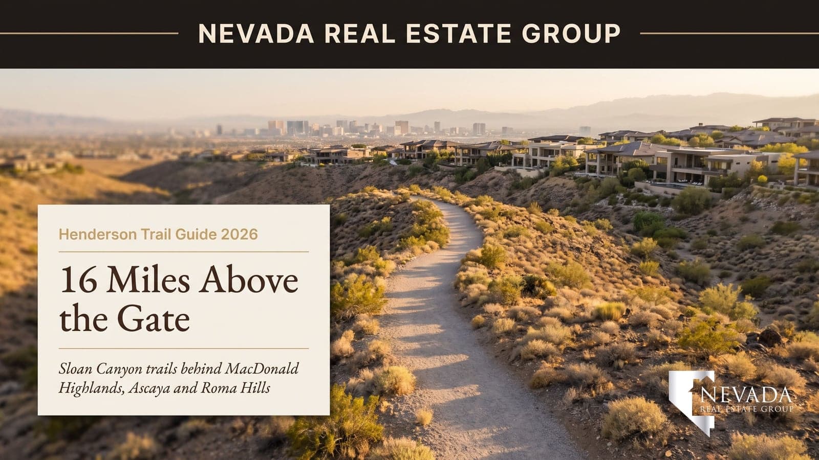

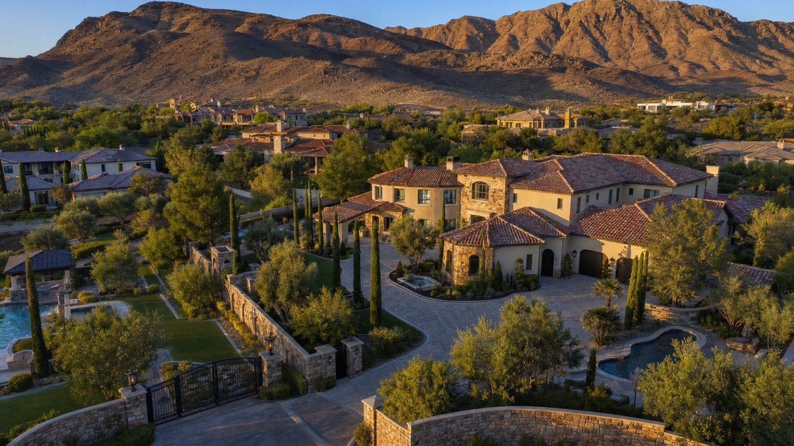
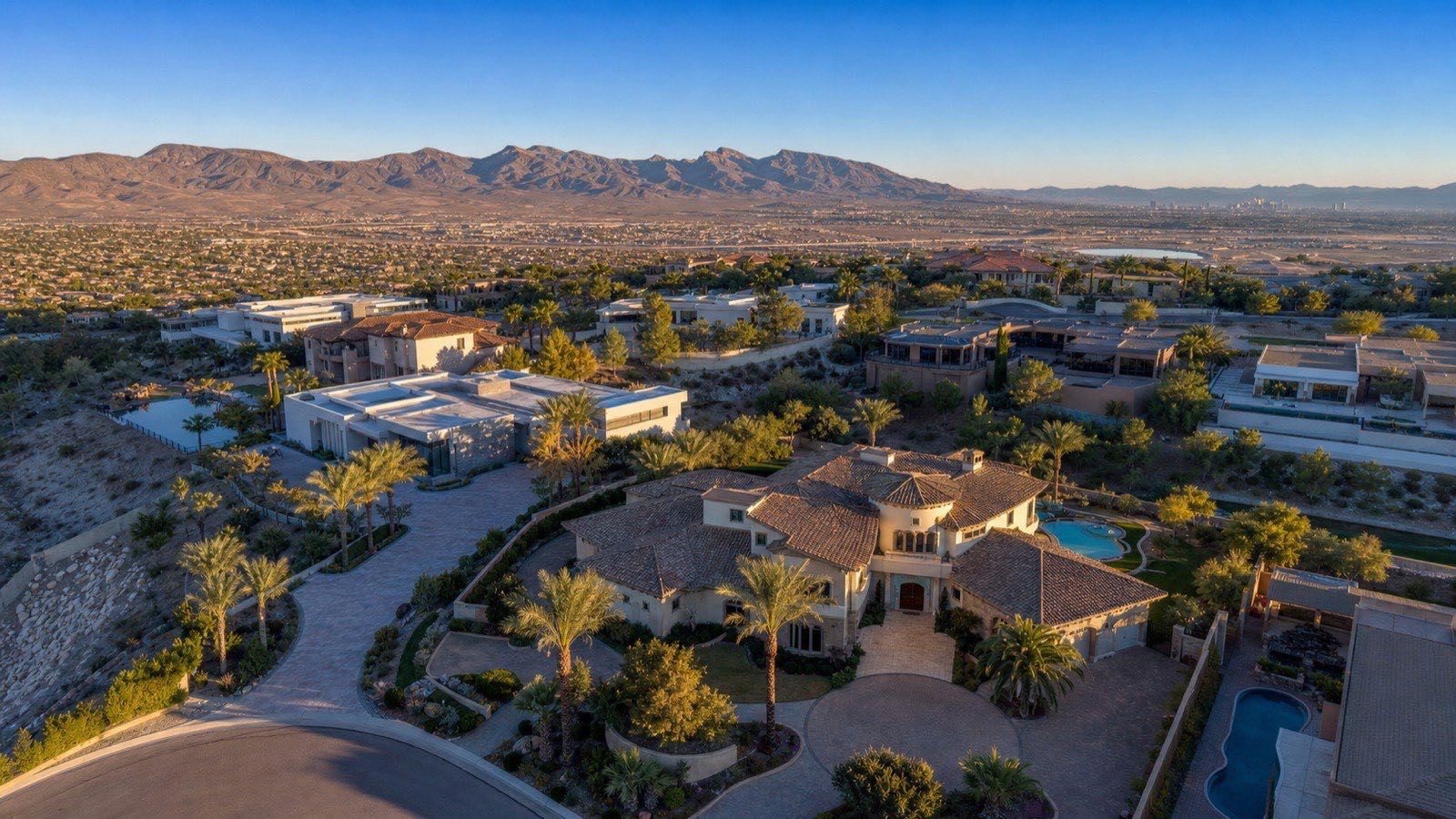
The first thing I do with a buyer torn between MacDonald Highlands and Ascaya is not a showing. It is a 6:30 a.m. walk from the McCullough Hills Trailhead at 295 Mission Drive, because within the first mile the case for living on this hill makes itself. Behind both gates sits the Sloan Canyon National Conservation Area, 48,000-plus acres of volcanic hills the Bureau of Land Management manages and that will never carry a rooftop. The homes in front of that backdrop are among the most expensive in Nevada: the 38 active MacDonald Highlands listings carry a $7,750,000 median asking price as of September 3, 2026, and Ascaya's 15 active listings sit at a $9,995,000 median.
I run Nevada Real Estate Group, and across the 9,600+ closings we've represented, hillside Henderson is the one submarket where I can point at a physical thing outside the property line and say, with a straight face, that it is part of the price. This guide walks every trail that starts near these gates, with distances, elevation, trailheads, and hours from City of Henderson and BLM sources, then puts the trail story next to the closed-sale data so you can decide how much of the premium the hills deserve.
MacDonald Highlands, Ascaya, and Roma Hills back onto Sloan Canyon National Conservation Area, and the 8-mile McCullough Hills Trail starts at 295 Mission Drive, minutes from each gate. That protected 48,000-acre backdrop is part of why 18 MacDonald Highlands homes closed in 180 days at a $2,864,995 median in 15.5 days, and why Ascaya's nine closings reached a $7,850,000 median. Hike October through May; buy the lot facing the range.
- McCullough Hills Trail runs 8 miles one-way to Anthem, 16 round trip, with about 1,800 feet of gain.
- MacDonald Highlands: 38 active listings, $7,750,000 median ask, 18 sales in 180 days at 15.5 days.
- Ascaya's nine sales in 180 days closed at a $7,850,000 median and $1,154 per square foot.
- Roma Hills lists from $1,745,000 to $6,499,000 with one closing in 180 days, so read its data cautiously.
- Carry water for you and the dog, leave summer trails by mid-morning, and yield to tortoises.
Why Do Trails Matter to Buyers on the McCullough Range?
Every master plan in the valley advertises trails. Most of them mean a paved loop around a retention basin. What MacDonald Highlands, Ascaya, and Roma Hills offer is different in kind: the back fence is the boundary of a federal conservation area, and the trail system beyond it is managed by the City of Henderson and the BLM rather than by an HOA landscaping contract. That distinction matters for three reasons.
The first is permanence. According to the Bureau of Land Management, Sloan Canyon is part of the National Conservation Lands system, protected by an act of Congress rather than by a zoning map that can be amended. A view lot in a subdivision is a view lot until the parcel below it sells; a view lot against a conservation area is a view lot for good.
The second is daily use. In my experience the buyers who pay $2 million to $10 million for a hillside home in Henderson are not buying a weekend property. They live here, and the question they ask on the second showing is what they will do at 6 a.m. on a Tuesday. The McCullough Hills Trail answers it.
The third is resale. According to the National Association of Realtors Community and Transportation Preferences Survey, a majority of Americans prefer a walkable community and would accept a smaller home to get one. At this price point nobody accepts a smaller home, but the same preference shows up as shorter marketing time. The 18 MacDonald Highlands homes that closed in the 180 days ending September 3, 2026 spent a median 15.5 days on market, against 42 days for the broader Henderson $1 million-plus segment. I will not claim the trail explains that whole gap; I will claim it is on the list of reasons, and the only one you can go stand on.
What Is Sloan Canyon National Conservation Area?
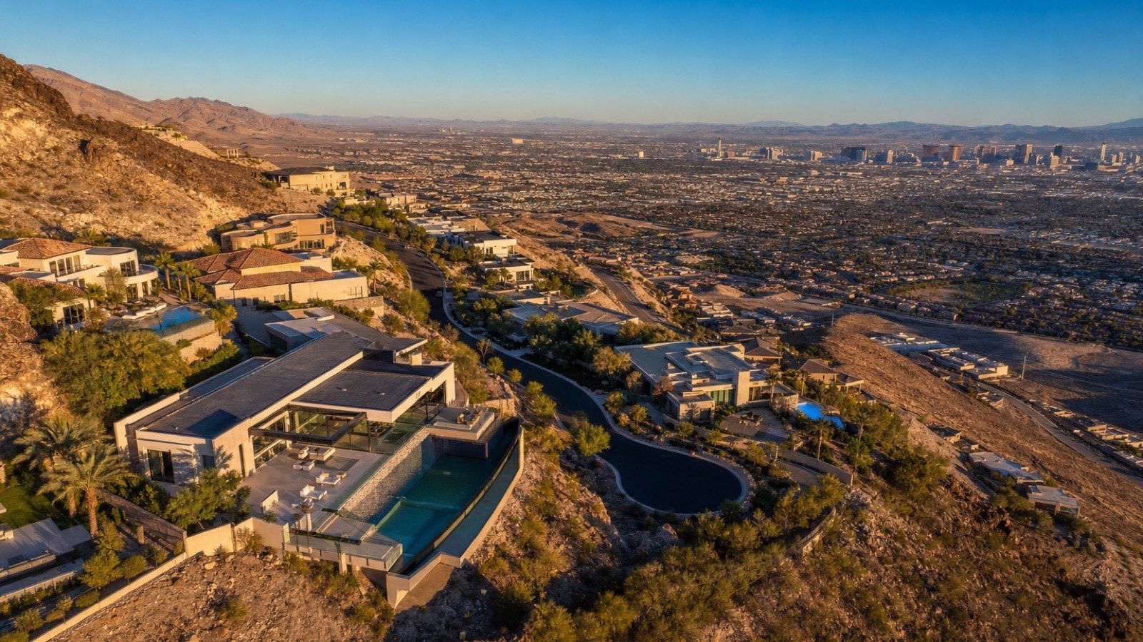
Sloan Canyon National Conservation Area is the 48,000-plus-acre block of volcanic hills, canyons, and creosote flats that forms the southern skyline of Henderson. Congress designated it in 2002, and the BLM manages it as part of the National Conservation Lands, the same system that includes Red Rock Canyon. The North McCullough Wilderness sits inside the NCA, and Petroglyph Canyon, near the southern end, holds one of Southern Nevada's most significant concentrations of Native American rock art. According to the BLM's Sloan Canyon page, the area was set aside specifically to protect that cultural resource along with the desert tortoise habitat and the scenic backdrop of the McCullough Range.
For a homeowner in Henderson, the practical translation is simple. The range you see from the back patio is not open space in the developer sense, held in reserve until phase four pencils out. It is federal land with wilderness inside it. MacDonald Highlands, Ascaya, and Roma Hills sit on the last private ground before that boundary, and the trailheads that serve the NCA sit on the city side of it, in parks the City of Henderson built and maintains. There is currently no day-use fee at those trailheads; you park at a city park and walk into federal land without a pass. Petroglyph Canyon is a harder trip from the south and is not the everyday hike. The everyday hike is the McCullough Hills Trail, and it starts about as close to the gate as a trail can.
According to the U.S. Census Bureau, Henderson counted 317,610 residents in 2020, yet even on a Saturday in March the Ghost and Bursage Loop is quiet, because only a few hundred of them live within walking distance of the trailhead, mostly behind one of three gates.
How Long Is the McCullough Hills Trail and Where Does It Start?
The McCullough Hills Trail is the signature route on the hill, and it is the one I walk with buyers. It starts at the McCullough Hills Trailhead at 295 Mission Drive, directly behind MacDonald Highlands and Ascaya, and runs roughly 8 miles one-way across the foothills to Anthem, for a 16-mile out-and-back with about 1,800 feet of elevation gain over the full round trip. According to the City of Henderson, which built and maintains the trailhead, the surface is a smooth, well-graded gravel path, and that surface is the whole point. It is not a scramble. It rolls through the hills at a grade a fit sixty-year-old can hold for an hour without thinking about footing, and it opens Strip and valley views within the first mile.
Gila-monster mile markers tell you exactly how far you have come and give you a clean turnaround point. Most residents treat it as an out-and-back of whatever length the morning allows: 2 miles before work, 6 on a weekend, and the full 16-mile crossing to Anthem once or twice a year with a car staged at the far end. Open uses are hiking, mountain biking, and horses; dogs are welcome on leash. The trailhead has parking, restrooms, water, and shaded picnic tables, so a family can walk down from a MacDonald Highlands home, hike an hour, and sit in the shade before walking back up. That water is also the last you will see; there is none on the trail.
One planning note for buyers comparing lots. The trailhead is on the MacDonald Highlands side of the hill; from Ascaya it is a short drive or a longer walk, and from Roma Hills it is a drive. If a daily walk-to-trailhead routine is why you are buying, lot location inside MacDonald Highlands matters: the upper-hill sections are closer to the range but farther from the trailhead. I have walked it from both, and the difference is about ten minutes of pavement.
What Makes the Ghost and Bursage Loop the Best Short Hike?
If you only have 90 minutes, the Ghost and Bursage Loop is the hike. It leaves from the same McCullough Hills Trailhead and runs a 3.8-mile loop with about 590 feet of gain through creosote and bursage scrub, the two plants it is named for, before rejoining the main trail. It is rated moderate, and the number to plan around is 1.5 to 2 hours at a conversational pace.
It is quiet, even on weekends, because most trailhead traffic stays on the graded path and the loop peels off into rockier ground. It is rocky in places, so this is the one route where I tell buyers to wear real shoes rather than the running shoes they wore to the showing. The reward is the closest thing to solitude within a few minutes of a $7,750,000 median-priced neighborhood.
In my experience this is the loop that sells the hill to a spouse who did not want to move. The McCullough Hills Trail is impressive, but it is long and linear. The Ghost and Bursage Loop is a complete experience in under two hours, with the valley opening on one side and the North McCullough Wilderness closing in on the other, and it ends at a trailhead with restrooms and shade. I have toured buyers on a Saturday morning who came back from the loop and shortened their list to two streets. For dog owners, it is the right length in cool weather and the wrong length in June; there is no water or shade, and the rock is hard on paws once the ground heats up.
How Does the Amargosa Trail Connect Henderson's Foothills?
The Amargosa Trail is Henderson's cross-town trail, the connective tissue between the neighborhood paths and the conservation area. It mixes paved and dirt segments and carries interpretive signs on desert tortoises and native plants, which makes it the trail I recommend for a first walk with children. The scenic stretch runs between Hidden Falls Park and the Shaded Canyon trailhead, 2.4 miles one-way with about 580 feet of elevation change, climbing switchbacks below Black Mountain that are short, steep, and a genuine workout. According to the City of Henderson trails program, the Amargosa also links to the McCullough Hills Trailhead, so it is possible to string a long day together without a car.
Water and restrooms are available at the Hidden Falls and Paseo Verde trailheads, which is why I point families toward those two as starting points rather than the Shaded Canyon end. Hidden Falls Park sits below the hill on the Green Valley side, and a homeowner in Seven Hills or MacDonald Ranch can reach it without touching a main road.
Henderson built a trail that crosses the city, tied it into a federal trailhead, and put tortoise education on the signs; that kind of civic investment holds up property values in a way a golf course, which can be sold and rezoned, does not. For the Roma Hills buyer specifically, the switchback section below Black Mountain is the nearest serious climb: shorter than the McCullough Hills Trail and harder per mile.
Is the Anthem East Trail Worth the Climb?
The Anthem East Trail is the conditioning route on the range, and it is where the mountain bikers go. It starts at Anthem Hills Park, 2256 North Reunion Drive, in Anthem, and the first three-quarters of a mile is paved, a stroller-friendly and knee-friendly out-and-back with a view. Past the pavement the trail turns rough, rocky, and steep, with long climbs and big valley views, for about 7 miles in total.
I include it here for two reasons. It is the far end of the McCullough Hills Trail, where you stage the second car for the 8-mile crossing. And it is the honest benchmark for what trail access means at a different price point. Anthem's ZIP code, 89044, had 269 active listings at a $550,000 median asking price on September 3, 2026, and 161 closings in the prior 90 days at a $525,000 median and 36 days on market. A buyer who wants the McCullough Range at the back fence and does not need a guard gate or a $2 million budget can get a version of it in Anthem for roughly one-fourteenth of the MacDonald Highlands median ask.
| Trail | Distance | Elevation | Trailhead | Surface and uses |
|---|---|---|---|---|
| McCullough Hills Trail | 8 miles one-way, 16 out and back | About 1,800 ft gain, full round trip | 295 Mission Dr.; parking, restrooms, water, shaded tables | Graded gravel; hikers, mountain bikes, horses; dogs on leash |
| Ghost and Bursage Loop | 3.8-mile loop | About 590 ft gain | McCullough Hills Trailhead, 295 Mission Dr. | Rocky in places; moderate; 1.5 to 2 hours |
| Amargosa Trail (scenic stretch) | 2.4 miles one-way | About 580 ft change | Hidden Falls Park to Shaded Canyon; water at Hidden Falls and Paseo Verde | Paved and dirt; switchbacks below Black Mountain; interpretive signs |
| Anthem East Trail | About 7 miles total | Long climbs past the pavement | Anthem Hills Park, 2256 N. Reunion Dr. | First 0.75 mile paved, then rough and rocky; popular with mountain bikers |
Which Trails Can You Walk Without Leaving the Gate?
Not every walk needs a trailhead, and for most residents the evening routine never leaves the community. MacDonald Highlands threads linear parks and landscaped paths through the neighborhood, so a homeowner can cover a couple of miles on lit pavement between the DragonRidge golf holes and the hillside streets without passing the guard. Ascaya maintains its own internal trails and a community park inside the gate, built into the terraced hillside with the same Strip and valley views the lots were graded to capture. Roma Hills is the most compact of the three, and its walk is the streetscape itself.
Below the hill, the Paseo Verde corridor's wide, planted sidewalks run down toward Green Valley Ranch and its shops and restaurants, if you are willing to walk back up. The Paseo Verde trailhead is also an Amargosa Trail access point with water and restrooms, so the corridor doubles as a route into the foothill network.
In July, the only comfortable walking hours are before 7 a.m. and after 8 p.m., and the in-gate paths and the Paseo Verde corridor are the routes with lighting; everything past the trailheads is dawn to dusk.
That split is worth weighing against lot location. For a household with a stroller, a road bike or an older dog, the in-gate loops are the everyday route and the trailhead is the weekend one, so a lot a few hundred yards from a linear park matters more day to day than a lot ten minutes closer to 295 Mission Drive. The in-gate paths are also the ones the HOA pays to light, water and patrol, which is why they appear on the assessment and the McCullough Hills Trailhead does not.
How Do MacDonald Highlands, Ascaya, and Roma Hills Compare for Trail Access?
The three communities share a range and a conservation boundary, but they do not share a trailhead, a price, or a market rhythm. Here is how they line up on the dimensions a trail-minded buyer asks about, using GLVAR listings whose MLS subdivision matches each community, pulled through the Repliers feed on September 3, 2026.
| Dimension | MacDonald Highlands | Ascaya | Roma Hills |
|---|---|---|---|
| Nearest trailhead | McCullough Hills Trailhead, 295 Mission Dr., walkable from lower sections | McCullough Hills Trailhead, short drive or longer walk | Amargosa switchbacks below Black Mountain; McCullough Hills by car |
| In-gate walking | Linear parks and landscaped paths through the community | Private internal trails and community park | Streetscape loop; compact footprint |
| Active listings | 38 | 15 | 9 |
| Median asking price | $7,750,000 | $9,995,000 | $2,499,900 |
| Asking-price range | $1,699,990 to $28,000,000 | $2,958,000 to $14,399,999 | $1,745,000 to $6,499,000 |
| List price per square foot | $1,179 | $1,291 | $401 |
| Median listed size | 6,999 sq ft | 6,500 sq ft | 5,697 sq ft |
| Closings, last 180 days | 18 | 9 | 1 (tiny sample) |
| Median sold price | $2,864,995 | $7,850,000 | $1,688,000 (single sale) |
| Median days on market, sold | 15.5 | 42 | 16 (single sale) |
| Sold price per square foot | $747 | $1,154 | $301 (single sale) |
Three readings from that table. The MacDonald Highlands sold median of $2,864,995 sits far below its $7,750,000 asking median, which tells you the active inventory is weighted toward the newest, largest hillside custom homes while the resale flow is the established golf-course and mid-hill product. Ascaya's $7,850,000 sold median and $1,154 per square foot are the highest on the hill, and its 42-day marketing time reflects how thin the buyer pool is at that number. Roma Hills, with one closing in 180 days, cannot support a median; the single $1,688,000 sale is a data point, not a market. For the full build-versus-buy comparison between the two larger communities, my MacDonald Highlands vs Ascaya custom-build guide goes lot by lot.
What Do Homes Near These Trails Cost in 2026?
The prices above are the hillside tier. To understand what the trail premium is priced against, you need the rest of Henderson next to it. Here is the same feed, same pull date, for the surrounding market.
| Market | Active listings | Median list price | List $/sq ft | Closings | Median sold | Median DOM | Sold $/sq ft |
|---|---|---|---|---|---|---|---|
| MacDonald Highlands | 38 | $7,750,000 | $1,179 | 18 | $2,864,995 | 15.5 | $747 |
| Ascaya | 15 | $9,995,000 | $1,291 | 9 | $7,850,000 | 42 | $1,154 |
| Roma Hills | 9 | $2,499,900 | $401 | 1 | $1,688,000 | 16 | $301 |
| Henderson $1M-plus segment | 388 | $2,336,583 | $503 | 80 | $1,662,500 | 42 | $423 |
| ZIP 89044 (Anthem) | 269 | $550,000 | $268 | 161 | $525,000 | 36 | $260 |
| ZIP 89012 (hillside ZIP) | 285 | $669,999 | $324 | 101 | $595,000 | 35 | $293 |
| Henderson, all residential | 2,432 | $533,527 | $276 | 957 | $488,000 | 34 | $257 |
| Las Vegas metro, all residential (sold only) | n/a | n/a | n/a | 3,041 | $436,948 | 28 | n/a |
Methodology: all figures are GLVAR MLS data accessed through the Repliers API on September 3, 2026, residential only. Community rows use listings whose MLS subdivision matches MacDonald Highlands, Ascaya (including the Crystal Ridge label), or Roma Hills, with 180-day sold windows; the city, ZIP, and $1 million-plus rows use 90-day windows. No listing was excluded by hand.
The spread is the story. The hillside ZIP, 89012, has a $669,999 median asking price and a $595,000 sold median; MacDonald Highlands, inside that ZIP, has a $7,750,000 asking median and a $2,864,995 sold median. The same ZIP holds a $1,179 list price per square foot behind one gate and $324 across the ZIP as a whole. According to Las Vegas REALTORS reporting, the valley-wide median in the 90 days ending September 3, 2026 was $436,948 across 3,041 closings; MacDonald Highlands' $747 sold price per square foot is about 2.9 times the Henderson citywide $257, and Ascaya's $1,154 is about 4.5 times.
Does Trail Access Show Up in Days on Market and Price Per Square Foot?
I want to be careful here, because the temptation is to attribute the whole premium to the hills, and that is not honest. The MacDonald Highlands and Ascaya premium is a stack: guard gate, custom architecture, lot size, DragonRidge golf, Strip views, and the conservation backdrop, and the trail network is one layer. What the data can show is that the hillside tier behaves differently from the rest of the Henderson luxury market, in a direction consistent with what buyers tell me on the trail.
Start with marketing time. The 80 Henderson closings above $1 million in the 90 days ending September 3, 2026 took a median 42 days, at a $1,662,500 median price. The 18 MacDonald Highlands closings in the prior 180 days took 15.5 days at a $2,864,995 median, and the most recent five took 10 days at a $2,499,990 median. A home at 1.7 times the luxury-segment median selling in a third of the time is not what a normal price-to-liquidity curve predicts. Across the closings we've represented up there, what pulls buyers through the gate faster is usually a view lot against the range with a trail at the bottom of the street.
Ascaya runs the other way on days on market, at 42: at a $7,850,000 sold median and $1,154 per square foot, Ascaya competes for a handful of buyers statewide at any given time, and its four closings in the last 90 days at a $9,500,000 median took 50.5 days. The trail is the same trail; the buyer pool is far smaller.
On price per square foot, the cleanest comparison is inside the $1 million-plus segment. Henderson luxury as a whole sold at $423 per square foot; MacDonald Highlands sold at $747 and Ascaya at $1,154. A portion of that is construction cost, because a custom home built into volcanic rock is expensive. A portion is the lot. And a portion, the one I cannot isolate but would not price to zero, is that the land behind the lot is protected and the trail through it is maintained by someone other than the HOA.
What Desert Safety Rules Apply on These Trails?
I include this section because I have watched a buyer from Seattle start the McCullough Hills Trail at 10 a.m. in late May with one small water bottle, and I would rather you read this than learn it the way he did. The McCullough Range is Mojave Desert, and the trails above Henderson have no shade to speak of and no water between trailheads. The water at the McCullough Hills, Hidden Falls, and Paseo Verde trailheads is the last you will see until you return, so carry more than feels necessary, and carry it for the dog too.
According to the National Weather Service in Las Vegas, summer highs in the valley routinely exceed 100 degrees from June into September, and the rock and gravel on these trails radiate heat well past sunset. The rule the City of Henderson and the BLM both give is to be off the trail by mid-morning in summer. October through May is prime season.
Hours are set by lighting. City-lit paths run 5 a.m. to 11 p.m.; unlit trails, which include everything past the trailheads, are dawn to dusk. Cell coverage thins on the far side of the ridge, so tell someone your route if you are doing the full crossing to Anthem, and do not count on a phone for navigation.
The desert tortoise has the right of way, and that is not a courtesy. According to the U.S. Fish and Wildlife Service, the Mojave desert tortoise is listed as threatened under the Endangered Species Act, and the Nevada Department of Wildlife notes it is the state reptile and protected under Nevada law. If you see one, stop, let it cross, and do not pick it up; a handled tortoise can void its bladder and lose the water it needs to survive the season. There is no day-use fee at these trailheads; keep it that way by staying on the trail, because the soil crusts and tortoise burrows on either side are the reason the area was protected.
When Is the Best Season to Hike Above Henderson?
The honest answer is the one the City of Henderson gives: October through May. Late October through early December has the clearest air of the year and the sharpest Strip views from the first mile of the McCullough Hills Trail; March and April bring the wildflower weeks, when the bursage and creosote on the loop are green after winter rain.
Winter is not a problem; a January morning on the trail is jacket weather at the start and shirt weather by the turnaround. Summer changes the hill from a daily amenity into an early-morning one: from June into September, off the trail by mid-morning means a 5:30 a.m. start for the Ghost and Bursage Loop and 5 a.m. for anything longer. This is where the lit in-gate paths and the Paseo Verde corridor earn their place.
Timing also affects the showing calendar. In my experience the hillside communities show best from a trailhead walk at 7 a.m. in October and worst from a mid-afternoon drive in July, and the closed-sale data reflects some of that: five of the 18 MacDonald Highlands closings in the last 180 days fell in the summer 90-day window, at a $2,499,990 median, below the 180-day median of $2,864,995. I would not overread five sales, but if you are selling a hillside home, fall trail season is your marketing window, and if you are buying, late summer is when sellers who missed spring are most negotiable.
Who Is the Right Buyer for a Trail-Adjacent Hillside Home?
Across the 9,600+ closings we've represented statewide, the hillside Henderson buyer falls into three profiles, and the trail matters to each differently.
The first is the active executive or retiree who wants a daily routine, not a weekend hobby. This buyer wants MacDonald Highlands, the lower or mid-hill sections within walking distance of 295 Mission Drive, and treats the McCullough Hills Trail as the gym. The 38 active listings from $1,699,990 to $28,000,000 give this buyer the widest choice on the hill, and the 15.5-day marketing time means the right lot does not wait.
The second is the view buyer at the top of the market. This buyer wants Ascaya, wants the terraced lot with the Strip in the frame, and uses the internal trails and park more than the trailhead. The trade is liquidity: Ascaya's $9,995,000 median ask and 42-day marketing time mean the exit is slower. For this buyer, guard-gated privacy and architecture outweigh the hike, and the conservation boundary is a view guarantee rather than a trailhead.
The third is the value buyer who wants the range without the $7 million entry. This buyer looks at Roma Hills at $1,745,000 to $6,499,000 and $401 per square foot, or at Anthem in ZIP 89044 at a $550,000 median ask. Both sit against the McCullough foothills; neither has a trailhead at the gate, and for a mountain biker, Anthem East may be the better trail anyway.
A note on HOAs. All three communities are governed under Nevada Revised Statutes Chapter 116, and the guard gate, the internal paths, and in Ascaya's case the private trails are HOA-maintained line items on the assessment. The trailhead at 295 Mission Drive is not; it is a city park serving BLM land, funded by Henderson rather than by the residents on the hill. When you compare the valley's luxury communities, know which amenities you pay to maintain and which the public maintains for you.
What Should Trail-Minded Buyers Do Next?
If you are considering a hillside home in Henderson, start where I start: walk the first mile of the McCullough Hills Trail from 295 Mission Drive before you tour a single house. In twenty minutes it tells you whether the hill is for you and which side of it you want to live on. Then look at the numbers with someone who has sold on both sides of that gate.
Nevada Real Estate Group closed 789 homes in 2025 for $361.5 million in volume, and we have represented more than 9,600 closings statewide with 9,097+ verified five-star reviews. I have toured buyers through MacDonald Highlands, Ascaya, and Roma Hills, and walked the Ghost and Bursage Loop with more than one of them. Our buyer program starts with a lot-by-lot read of the hillside inventory, including which streets are a walk from the trailhead and which are a drive, and the current Henderson luxury listings are on the site with live MLS data. If you are curious where the valley's athletes and executives have been buying on this hill, my guard-gated estates guide covers it.
Call or text (702) 637-1759, or request a hillside consultation, and we will put the trail map and the closed-sale map for the three communities side by side, with the lots that face the range flagged. Then we go for a walk.
Frequently Asked Questions
How long is the McCullough Hills Trail in Henderson?
About 8 miles one-way from the McCullough Hills Trailhead at 295 Mission Drive, behind MacDonald Highlands and Ascaya, to Anthem, a 16-mile out-and-back with roughly 1,800 feet of gain over the full round trip. The surface is graded gravel, open to hikers, mountain bikers, and horses, dogs are allowed on leash, and Gila-monster mile markers make any shorter out-and-back easy to measure.
Is there a fee to hike in Sloan Canyon National Conservation Area?
There is currently no day-use fee at the Sloan Canyon NCA trailheads in this guide, including the McCullough Hills Trailhead at 295 Mission Drive and Anthem Hills Park at 2256 North Reunion Drive, both City of Henderson parks providing access to BLM-managed land. Parking, restrooms, and water are available at the McCullough Hills Trailhead; check the BLM and City of Henderson sites for changes before you go.
Which trail near MacDonald Highlands is best for a short hike?
The Ghost and Bursage Loop, a 3.8-mile loop with about 590 feet of gain from the McCullough Hills Trailhead. Plan on 1.5 to 2 hours. It is rated moderate, rocky in places, and quiet even on weekends because most trailhead traffic stays on the graded main trail. Wear real hiking shoes, carry water, and in summer start at first light.
Can you walk to the trailhead from MacDonald Highlands or Ascaya?
From the lower and mid-hill sections of MacDonald Highlands, the McCullough Hills Trailhead at 295 Mission Drive is roughly a ten-minute walk on pavement; the upper hillside sections are farther. From Ascaya it is a short drive or a longer walk, and from Roma Hills it is a drive. Ascaya also maintains private internal trails and a park inside the gate, and MacDonald Highlands threads linear parks and lit paths through the community.
What do homes in MacDonald Highlands and Ascaya cost in 2026?
As of September 3, 2026, MacDonald Highlands had 38 active listings at a $7,750,000 median ask and $1,179 per square foot, with 18 closings in the prior 180 days at a $2,864,995 median and 15.5 days on market. Ascaya had 15 active listings at a $9,995,000 median and $1,291 per square foot, with nine closings at a $7,850,000 median, $1,154 per square foot, and 42 days on market. Figures are GLVAR data via Repliers.
Is Roma Hills a cheaper way to live near the same trails?
Roma Hills lists from $1,745,000 to $6,499,000 with a $2,499,900 median ask and $401 per square foot, well below its two neighbors, and it sits under Black Mountain near the Amargosa Trail's switchbacks. It does not have the McCullough Hills Trailhead at its gate, and with one closing in the last 180 days, at $1,688,000, its sale data is too thin to price against. Anthem's ZIP 89044, at a $550,000 median ask, is the other range-adjacent alternative.
When is it safe to hike the trails above Henderson?
October through May is prime season. In summer, when the National Weather Service reports valley highs routinely above 100 degrees, be off the trail by mid-morning. There is no shade and no water between trailheads, so carry more than you think you need, including for dogs. City-lit paths run 5 a.m. to 11 p.m.; unlit trails are dawn to dusk. Cell coverage thins beyond the ridge, and desert tortoises always have the right of way.
Which Sources Inform This Henderson Trail Guide?
Trail distances, elevation, trailhead addresses, hours, and use rules come from City of Henderson, BLM, and trail-guide sources as of September 2026 and are approximate. Market figures are GLVAR MLS data via the Repliers API on September 3, 2026, as described in the methodology note above.
- Bureau of Land Management, Sloan Canyon National Conservation Area: NCA boundaries, designation, management
- Bureau of Land Management, National Conservation Lands in Nevada: conservation-lands framework
- City of Henderson and its Parks and Recreation department: trailheads, surfaces, lighting hours, park amenities
- Las Vegas REALTORS: valley-wide market reporting
- U.S. Census Bureau QuickFacts, Henderson city: 2020 population
- National Weather Service, Las Vegas: seasonal temperature context
- U.S. Fish and Wildlife Service, Mojave desert tortoise: threatened status
- Nevada Department of Wildlife: state protection of the desert tortoise
- National Association of Realtors: Community and Transportation Preferences Survey
- Nevada Revised Statutes Chapter 116: common-interest community governance
- Wikipedia, Sloan Canyon National Conservation Area: NCA and North McCullough Wilderness background
This article is general information about hillside communities and public trails in Henderson, Nevada, and is not legal, tax, or financial advice. Trail conditions, hours, and fees change; verify with the City of Henderson and the BLM before hiking, and carry adequate water. Market figures are point-in-time MLS data and will change. Nevada Real Estate Group, LPT Realty, License S.181401, 8945 W Russell Rd Suite 170, Las Vegas NV 89148, (702) 637-1759.