

If you are thinking about moving to the western edge of the Las Vegas Valley, you probably already know that the views of Red Rock Canyon are incredible. But once the boxes are unpacked, the practical reality sets in: how do you actually get from Point A to Point B, how long is the drive to the Strip, and can you really use those famous trails to run errands?
Summerlin is a master class in master-planned living. It was engineered from the ground up around movement — wide, landscaped boulevards, a dedicated freeway spine, more than 150 miles of interconnected trails, and a walkable urban core at Downtown Summerlin. Yet the community is also a two-speed place: world-class for recreational walking and biking, and still very much a car-dependent suburb for daily errands. Understanding which of those two Summerlins you are buying into shapes both your commute and, as the live market data below shows, your home price.
Here is the full logistics picture for living in Summerlin in 2026 — how the road network is built, realistic commute times, why your ZIP code moves both your drive time and your budget, how the trail system works, and what to expect from transit, ride-share, EV charging, and HOA parking rules.
Getting around Summerlin means driving for roughly 95% of daily trips: Summerlin Parkway and the CC-215 Beltway put the Strip 20–30 minutes away and Harry Reid Airport 20–30 minutes south. The payoff is lifestyle mobility — over 150 miles of trails and the walkable Downtown Summerlin core. As of July 2026, GLVAR shows 1,485 active Summerlin listings at a $649,900 median, with prices climbing the closer a village sits to the 215 and Red Rock.
- Summerlin Parkway feeds US-95 for a 20-minute Downtown run; the CC-215 handles airport and Henderson trips.
- West-side ZIP 89135 medians $1,037,500 versus $420,000 in east-side 89145 — location drives commute and price.
- More than 150 miles of trails make Summerlin elite for exercise, but low for errands outside Downtown Summerlin.
- RTC bus fare is $4 for a 2-hour pass; no single-seat ride reaches the Strip from the villages.
- Most of Summerlin sits inside the City of Las Vegas, not Clark County — changing your services and taxes.
How Does the Road Network Actually Work in Summerlin?
Unless you live directly inside Downtown Summerlin, driving is how you will handle the overwhelming majority of your life here. The good news is that the road network was designed as a hierarchy, not a maze, so once you learn three or four roads you can navigate the entire 22,500-acre master plan.
Summerlin Parkway is the spine. It is a dedicated limited-access freeway — on-ramps, off-ramps, no stoplights — that funnels traffic from the residential villages east to US-95 and into downtown Las Vegas. According to the Nevada Department of Transportation, Summerlin Parkway carries tens of thousands of vehicles daily and is the single reason a west-valley community feels so connected to the urban core.
Looping around the western and southern edge is CC-215, the Bruce Woodbury Beltway, named for the county commissioner who championed it. This semicircle freeway is your route south toward Harry Reid International Airport and Henderson without ever touching the congested I-15 corridor. It generally moves fast, though the Summerlin Parkway interchange bogs down at peak hours.
Inside the neighborhoods you rely on major surface arterials: Town Center Drive, Rampart Boulevard, Charleston Boulevard, Sahara Avenue, and Far Hills Avenue. A word to the wise — residential speed limits of 25 to 35 mph are strictly enforced, and City of Las Vegas Marshals and Metro patrol these villages actively. The rush pattern is predictable: eastbound in the morning toward the Strip and Downtown, westbound in the evening coming home.
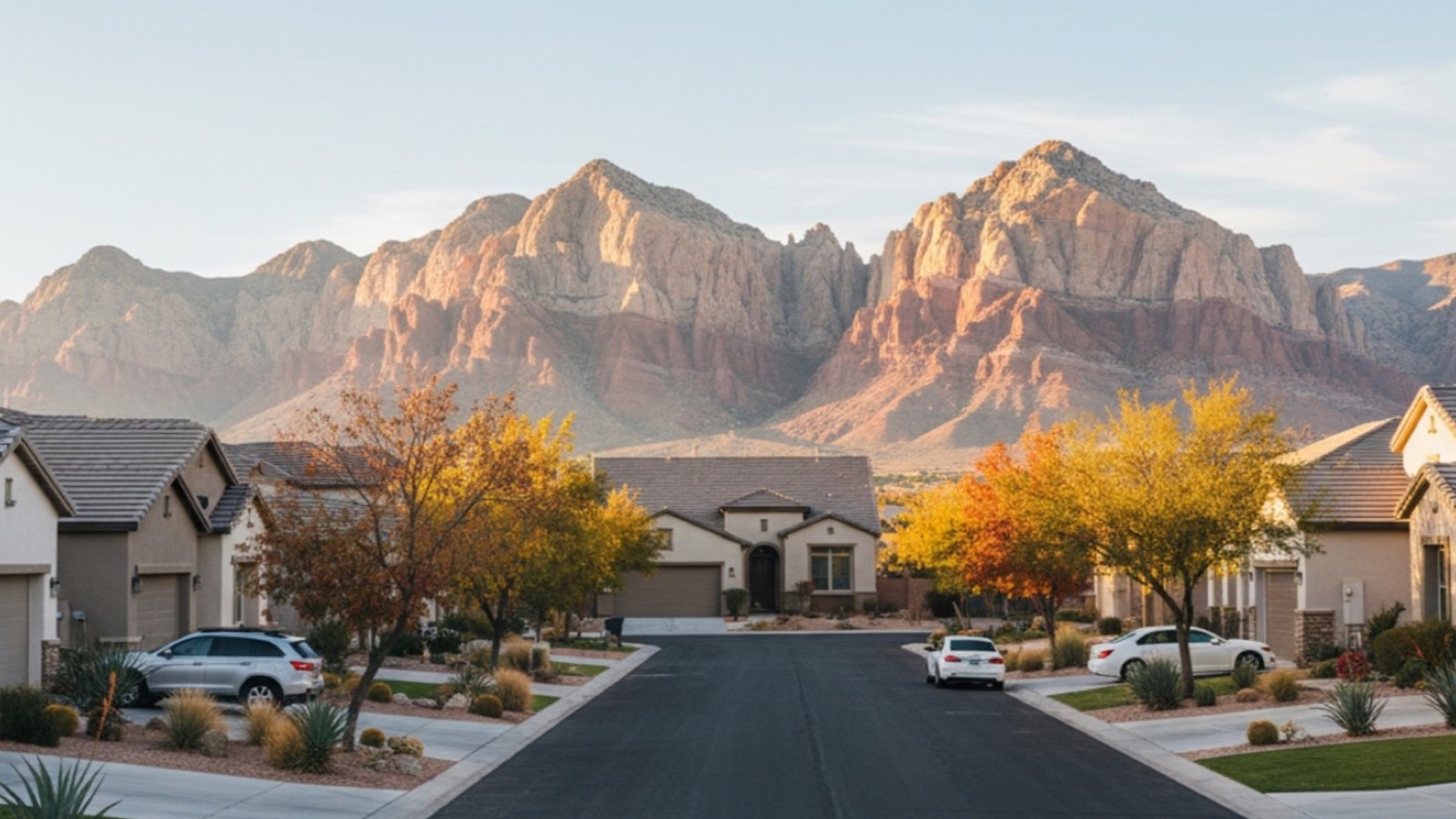
What Are Realistic Commute Times From Summerlin in 2026?
One of the biggest perks of this location is that you feel removed from the chaos of the tourist corridor while still getting there quickly. Commute times swing with events and conventions, but here is what you can generally expect under normal conditions in 2026.
If you work on the Las Vegas Strip, plan for a 20-to-30-minute drive during non-peak hours. When Formula 1 preparations are underway or a major convention fills the corridor, that can easily double, which is why locals memorize back routes like Frank Sinatra Drive and Industrial Road. Downtown Las Vegas (Fremont Street) is often the smoother trip at roughly 20 minutes via Summerlin Parkway and US-95. Harry Reid International Airport sits 20 to 30 minutes south via the CC-215. Driving to Henderson is the longer haul at 30 to 40 minutes depending on where in the southeast valley you land.
| Destination | Primary route | Approx. distance | Non-peak drive | Peak / event drive |
|---|---|---|---|---|
| Las Vegas Strip (Bellagio) | Summerlin Pkwy → I-15 / Sahara | ~11 miles | 20–30 min | 40–60 min |
| Downtown / Fremont Street | Summerlin Pkwy → US-95 | ~13 miles | ~20 min | 30–40 min |
| Harry Reid Airport (LAS) | CC-215 South | ~15 miles | 20–30 min | 35–45 min |
| Downtown Henderson | CC-215 South & East | ~24 miles | 30–40 min | 45–55 min |
| Red Rock Canyon Loop | W. Charleston Blvd | ~8 miles | 15–20 min | 15–25 min |
We fold these travel times into the household math in our cost of living in Summerlin breakdown, but the headline is that efficient freeway access keeps fuel costs manageable relative to comparable west-valley suburbs.
How Does Your Village and ZIP Code Affect Both Price and Commute?
This is where Summerlin logistics stop being trivia and start being money. The master plan spans five primary ZIP codes, and the further west and south you go — closer to Red Rock, the newest villages, and the CC-215 — the higher both the elevation and the price. Meanwhile, the older eastern edge sits closest to the Summerlin Parkway on-ramp, trading trophy views for a shorter, simpler commute and a far lower entry price.
According to Las Vegas REALTORS data pulled from the GLVAR feed on July 12, 2026, the Summerlin master plan carried 1,485 active for-sale listings at a $649,900 median list price, against a trailing-90-day median sold price of $567,000 and a median 30 days on market. Break that down by ZIP and the location premium is unmistakable.
| ZIP | Sub-area / villages | Freeway position | Active listings | Median list price |
|---|---|---|---|---|
| 89135 | Summerlin West, The Ridges, Redpoint, The Cliffs | CC-215 & Red Rock edge | 322 | $1,037,500 |
| 89138 | Summerlin West / North, Stonebridge, Reverence, Kestrel | CC-215 north segment | 350 | $849,999 |
| 89144 | Central-north Summerlin, The Vistas, The Trails | Interior arterials | 144 | $654,450 |
| 89134 | Sun City Summerlin, established east | Near Rampart / Summerlin Pkwy | 298 | $510,000 |
| 89145 | East Summerlin, Rampart–Charleston | Closest to Summerlin Pkwy on-ramp | 141 | $420,000 |
The pattern is clean: 89135 medians $1,037,500 — roughly 2.5 times the $420,000 median in east-side 89145 — largely because the western ZIPs buy Red Rock proximity, elevation, and the newest infrastructure. If your priority is the shortest possible drive to Downtown or the Strip rather than a canyon view, the eastern villages near the Summerlin Parkway on-ramp deliver a materially shorter commute at a fraction of the price. Across the 40-plus Summerlin closings our team has represented, buyers who weighted commute over view consistently found better value in 89134 and 89145. Explore how these sub-areas stack up in our best neighborhoods in Summerlin analysis, or search the whole master plan on the Summerlin community hub.
How Does Getting Around Compare Across Summerlin's Main Villages?
Summerlin is not one place — it is more than 20 villages, each with a different relationship to the freeways, the trails, and Downtown Summerlin. A guard-gated estate in The Ridges lives a very different logistical life than a townhome in The Trails. The comparison below maps the mobility trade-offs against live pricing.
| Dimension | The Ridges | Red Rock CC | The Paseos | Sun City Summerlin |
|---|---|---|---|---|
| Median list price | $3,447,500 | $2,520,000 | $795,000 | $465,000 |
| Active listings | 44 | 26 | 29 | 201 |
| Freeway access | CC-215 (excellent) | CC-215 (excellent) | Interior / Summerlin Pkwy | Rampart / US-95 |
| Trail connectivity | High (village trails) | Gated internal paths | High (arroyo trails) | Dedicated 55+ paths |
| Walk to Downtown Summerlin | Drive only | Drive only | Drive only | Drive only |
| Street parking | Prohibited (gated) | Prohibited (gated) | HOA-restricted | Restricted |
The takeaway for buyers: guard-gated western villages like The Ridges and Red Rock Country Club buy you the best freeway access and views but the strictest parking rules, while established 55+ Sun City Summerlin trades canyon proximity for lower prices and the shortest US-95 access. If a gated lifestyle is the goal, our guard-gated communities and luxury communities hubs break down every option.
What Does the 215 Beltway Do for West-Side Drivers?
The CC-215 Bruce Woodbury Beltway is the single most important piece of infrastructure for anyone living on Summerlin's western half. Without it, every trip south or east would dump onto surface streets or the perpetually busy I-15. With it, you get a high-speed loop that reaches the airport, the southwest valley's job centers, and Henderson while bypassing the Strip entirely.
According to the Regional Transportation Commission of Southern Nevada, the Beltway has been widened and upgraded in phases over the past decade, and the segment fronting Summerlin now moves at freeway speeds outside of rush hour. For west-side commuters this is worth real money: a household in Summerlin West can reach the $1B-plus employment and medical corridor around the CC-215 and Summerlin Hospital in well under 15 minutes.
The trade-off is the interchange. Where the CC-215 meets Summerlin Parkway, merging traffic backs up during the 7-to-9 a.m. and 4-to-6 p.m. windows. Locals who commute daily learn to leave a few minutes early or use Town Center Drive as a relief valve. If you are weighing a new-construction home in Summerlin West, factor the interchange into your test drive — do it at 8 a.m. on a weekday, not on a quiet Sunday.
How Extensive Is the Summerlin Trail System?
This is where the community truly shines, and it is the reason many buyers choose Summerlin over comparably priced valley suburbs. According to the Howard Hughes Corporation, Summerlin's developer, the master plan contains more than 150 miles of interconnected trails woven through the villages, parks, and open space — one of the largest private trail networks in the country.
The trails come in three distinct flavors, and knowing the difference changes how you use them:
- Street-side trails are the wide, landscaped paths set 6 to 8 feet back from the curb that you see while driving. They are ideal for dog-walking, strollers, and casual jogs safely away from traffic.
- Village trails are the hidden gems — off-street paths winding through natural arroyos (dry creek beds) and behind neighborhoods, letting you run or bike for miles without crossing a major street.
- Regional connectors, including the paved path alongside the 215 Beltway, offer long, uninterrupted distance riding.
A meaningful upgrade completed recently connects the 215 Beltway trail network to the Bonanza Trail, closing a gap cyclists had wanted fixed for years. The result is that from many western villages you can now ride paved, largely car-free trail for a substantial loop. For families, the payoff is being able to reach parks and recreation in Summerlin on foot or by bike even when the grocery store is a drive away.
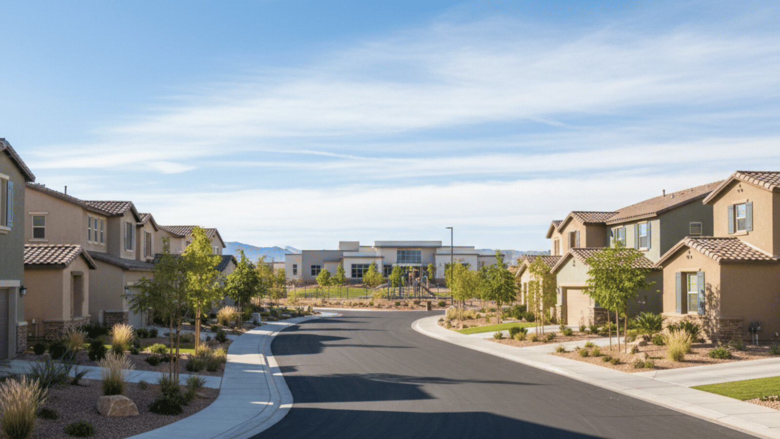
Is Summerlin Actually Walkable for Daily Errands?
Here is the honest answer that a glossy brochure will not give you: Summerlin is highly walkable for lifestyle and largely un-walkable for utility, and the two should not be confused.
For exercise, the trail system is unmatched. For errands, the master-planned, car-first design means most single-family homes sit too far from a grocery store, pharmacy, or restaurant to walk there practically. The clear exception is Downtown Summerlin and its surrounding high-density condos — inside that core you can genuinely live a walk-to-dinner, walk-to-shopping lifestyle. According to the U.S. Census Bureau, the west-valley tracts that include Summerlin report very low walk-to-work shares, consistent with a suburb built around cars rather than sidewalks.
If daily walkability is your top priority, focus your search on the condos and townhomes clustered around Downtown Summerlin rather than the outer villages. If trail access for recreation matters more, almost any village delivers. Our first-time buyer resources can help you weigh the walkability-versus-space trade-off against your budget.
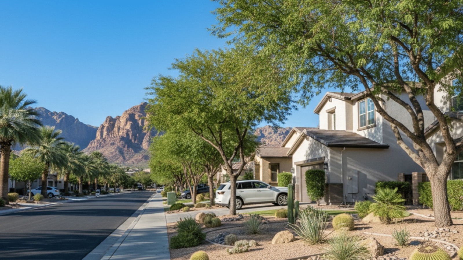
How Good Is Cycling in and Around Summerlin?
Cyclists generally love this area, but there is a real divide between casual cruising and serious road biking. Most major arterials feature designated bike lanes 4 to 6 feet wide, which is fine for confident riders. However, roads like Charleston Boulevard carry 45-plus-mph traffic that intimidates casual and younger riders.
Serious road cyclists and triathletes flock here for the Red Rock Canyon scenic loop — a roughly 13-mile world-famous training ride that starts just minutes from the western villages. For those who prefer to stay away from cars entirely, the dedicated Beltway Trail is the safest bet for long, uninterrupted rides. Unlike Downtown Las Vegas, you will not find many public bike-share docks in Summerlin; cycling here is overwhelmingly recreational and done on personal bikes. The proximity to Red Rock is a genuine amenity that shows up in western-village pricing, which is part of why 89135 medians a full $1,037,500.
What Public Transit Options Serve Summerlin?
If you are hoping to live in Summerlin without a car, be realistic — it is difficult. The Regional Transportation Commission (RTC) does provide bus service, but coverage is concentrated on the major arterials and thin deep inside the residential villages.
According to the Regional Transportation Commission of Southern Nevada, the key routes serving the area include Route 206 along Charleston Boulevard, the Sahara Express (SX) rapid line down Sahara Avenue, and Route 120 covering Fort Apache and Rampart. These buses are clean and reliable, but there is rarely a single-seat ride to the Strip from deep in Summerlin — you typically transfer to the Deuce or another corridor line, adding significant time.
| Service | Corridor served | Best use | Standard fare |
|---|---|---|---|
| Route 206 | Charleston Blvd | East–west arterial trips | $4 / 2-hour pass |
| Sahara Express (SX) | Sahara Ave | Rapid transit toward the Strip | $4 / 2-hour pass |
| Route 120 | Fort Apache & Rampart | North–south village edges | $4 / 2-hour pass |
| 24-hour pass | System-wide | All-day errands | $8 |
| 30-day pass | System-wide | Regular commuters | $65 |
For special events — Golden Knights games, Raiders games — locals lean on Park & Ride options near perimeter casinos like Red Rock Resort and the Suncoast, letting you skip stadium parking fees and let someone else drive. According to the RTC, a 30-day system pass runs $65, which pencils out for anyone commuting the corridors daily.
How Do Ride-Share, EV Fleets, and Airport Transfers Work Here?
For a night on the Strip or a run to the airport, ride-share services like Uber and Lyft are readily available. Because Summerlin is densely populated, wait times are typically short — usually 5 to 10 minutes. A popular premium alternative is Kaptyn, an all-EV fleet frequently used for consistent, high-end airport transfers.
Be realistic about cost, though. While the drive is short, a Strip-bound ride during peak Friday or Saturday night hours can easily run $30 to $50-plus one way, and a peak airport transfer often lands in the $35-to-$55 range. Most commercial airport shuttles — the shared hotel vans — do not service residential Summerlin, so private car service or ride-share is your practical option. For a household making two round-trip airport runs a month, budgeting roughly $150 to $220 in ride-share is realistic.
What Should You Know About Parking and HOA Vehicle Rules?
If you are browsing Summerlin neighborhoods, ask about parking before you fall in love with a floor plan. The homeowners associations here maintain high aesthetic standards, and that extends to where you leave your car.
In many gated villages, overnight street parking is prohibited outright — residents are expected to use garages. If you own more cars than garage spots, check the specific sub-association rules, because fines commonly start around $50 to $100 and escalate. Red-curb fire lanes are strictly enforced. RVs, boats, and trailers are almost universally banned from residential street parking and must be stored off-site. At Downtown Summerlin, the large garages are free but prohibit overnight storage, so you cannot use them as a weekend park-and-ride.
Summerlin's HOA structure is multi-tiered, and it shows up on both your monthly budget and your tax bill. According to the Clark County Assessor, owners here typically carry three separate layers: (1) the master Summerlin Community Association / Summerlin Council assessment funding the trails, parks, and common landscaping; (2) a sub-association HOA for your specific village — commonly $50 to $300 per month for standard villages, and $300 to $800-plus per month in guard-gated enclaves like The Ridges or Red Rock Country Club that staff gate houses and private patrols; and (3) in newer villages such as Summerlin West, Reverence, and Redpoint, a LID/SID (Local or Special Improvement District) bond assessment that appears as a line item on your Clark County property tax bill to repay the infrastructure — roads, utilities, and grading — that made the village buildable. Always price all three tiers before you write an offer; the LID/SID in particular can add hundreds of dollars a year and is easy to miss. Our Summerlin sellers resources cover how to document these for buyers.
Is Summerlin Part of the City of Las Vegas or Clark County?
This trips up nearly every relocating buyer, and it matters for your services, your taxes, and even which police agency responds. The short answer: most of Summerlin lies within the incorporated City of Las Vegas, not unincorporated Clark County.
That means the bulk of the master plan receives City of Las Vegas municipal services — city police (Metro operates valley-wide, but code enforcement and marshals are city), city permitting, and the city's business-licensing and property-tax structure. A few outlying pockets on the master plan's fringes fall into unincorporated Clark County, and Summerlin South near the CC-215 has its own jurisdictional nuances. Practically, "Summerlin" is a private master-plan brand spanning multiple jurisdictions, so always confirm the specific parcel's city on the Clark County Assessor record before assuming a tax rate or school-zone. This is exactly the kind of detail our team verifies parcel-by-parcel, and it is worth a two-minute check against the assessor site when you compare homes across Las Vegas and Henderson.
How Are EV Charging and Future Transit Shaping Summerlin Mobility?
Summerlin's newer western villages are being built EV-forward. Many new-construction homes in Summerlin West and Reverence ship with 240-volt garage pre-wiring for a Level 2 charger, and public DC fast-charging has expanded around Downtown Summerlin and the CC-215 retail corridors. According to the U.S. Department of Energy's alternative-fuels data, Southern Nevada's charging network has grown sharply, and the west valley now has meaningfully more public ports than it did even two years ago.
On the transit horizon, regional planners continue to study high-capacity options connecting the west valley to the resort corridor, though nothing rail-based currently serves Summerlin — the Las Vegas Monorail runs only along the east side of the Strip and does not reach the west valley. For the foreseeable future, the private car (increasingly electric) plus the trail network remains the realistic mobility formula here. If EV-readiness is on your must-have list, flag it early with your agent, because it varies sharply by village and build year.
What Should Summerlin Buyers Know About Location and Logistics?
Pulling it together: Summerlin gives you a genuinely two-speed transportation life. For commuting and errands, it is a well-designed but firmly car-dependent suburb where Summerlin Parkway and the CC-215 buy you 20-to-30-minute access to the Strip, Downtown, and the airport. For lifestyle, the 150-plus miles of trails and the walkable Downtown Summerlin core deliver mobility that few valley communities can match.
The strategic insight is that logistics and price move together. The western, freeway-adjacent, Red Rock-view ZIPs command a $1,037,500 median while the eastern villages closest to the Summerlin Parkway on-ramp start near $420,000 — so your commute priorities and your budget should be decided in the same conversation. Whether you want the shortest drive, the best trail access, or the newest EV-ready build, the right village is the one that matches how you actually move. When you are ready to match a village to your commute and budget, start a search or contact our team at (702) 637-1759.
Frequently Asked Questions
Is Summerlin NV walkable?
Summerlin is very walkable for exercise but generally not for daily errands. You can walk or bike for miles on the 150-plus-mile trail system, but most single-family homes sit too far from a grocery store or restaurant to walk there practically. The clear exception is Downtown Summerlin and its surrounding high-density condos, where a genuine walk-to-everything lifestyle is possible.
How far is Summerlin from the Las Vegas Strip?
Central Summerlin is about 11 miles and a 20-to-30-minute drive to the Strip under normal traffic via Summerlin Parkway and I-15 or Sahara Avenue. During major events like Formula 1 or New Year's Eve, travel times can double to 40 to 60 minutes, so locals rely on back routes like Frank Sinatra Drive.
Does the Las Vegas Monorail go to Summerlin?
No. The Las Vegas Monorail operates only along the east side of the Las Vegas Strip and does not connect to the west valley or Summerlin. No rail transit currently serves Summerlin; getting around means driving, ride-share, RTC buses on the arterials, or the trail network.
Is Summerlin part of the City of Las Vegas or Clark County?
Most of Summerlin lies within the incorporated City of Las Vegas and receives city municipal services and tax structure, though some fringe pockets fall into unincorporated Clark County. Because "Summerlin" is a private master-plan brand spanning multiple jurisdictions, always confirm a specific parcel's city on the Clark County Assessor record before assuming a tax rate or school zone.
How much does it cost to get around Summerlin without a car?
Budget realistically. RTC bus fare is $4 for a 2-hour pass or $65 for a 30-day pass, but no single-seat bus reaches the Strip from deep in the villages. Ride-share to the Strip runs $30 to $50-plus one way at peak times, and airport transfers land around $35 to $55. Two monthly airport round-trips by ride-share can total $150 to $220.
How does my Summerlin village affect my home price and commute?
They move together. West-side ZIP 89135 (The Ridges, Summerlin West) medians $1,037,500 for Red Rock proximity and CC-215 access, while east-side 89145 medians $420,000 near the Summerlin Parkway on-ramp — meaning the eastern villages often deliver the shortest Downtown commute at the lowest price, and the western villages sell views and freeway loop access at a premium.
Are there park and ride locations in Summerlin?
Yes. Designated park-and-ride lots sit near the community's perimeter, often close to casinos like Red Rock Resort and the Suncoast. They are popular for catching express buses to sporting events such as Golden Knights and Raiders games, letting you skip stadium parking fees.
Which Sources Inform This Summerlin Transportation Guide?
Market figures reflect GLVAR (Las Vegas REALTORS) MLS data pulled via the Repliers feed on July 12, 2026, covering active Summerlin listings, trailing-90-day sold prices, and days on market, scoped by village name and ZIP code. Commute times reflect typical non-peak driving conditions and are subject to event and construction variability. Village-level and proprietary framing reflects transactions our team has represented across the Summerlin master plan.
- Las Vegas REALTORS (GLVAR) — MLS market statistics
- Nevada Department of Transportation — Summerlin Parkway & CC-215 corridor data
- Regional Transportation Commission of Southern Nevada — routes, fares, and Park & Ride
- Howard Hughes Corporation / Summerlin — trail system and master-plan facts
- Clark County Assessor — parcel jurisdiction, HOA & LID/SID tax records
- U.S. Census Bureau — commuting and walk-to-work data
- City of Las Vegas — municipal jurisdiction and services
- U.S. Department of Energy — Alternative Fuels Data Center — EV charging network data
- Clark County Department of Comprehensive Planning — regional transit planning
- Nevada Department of Taxation — property-tax structure
Have a specific village or commute question? Call Nevada Real Estate Group at (702) 637-1759 or reach us here — we will map the drive, the trails, and the true carrying cost of any Summerlin home before you write an offer.